Showing posts with label clouds. Show all posts

Thursday, May 8, 2014

Wednesday, October 16, 2013

Thursday, October 10, 2013

Monday, August 5, 2013

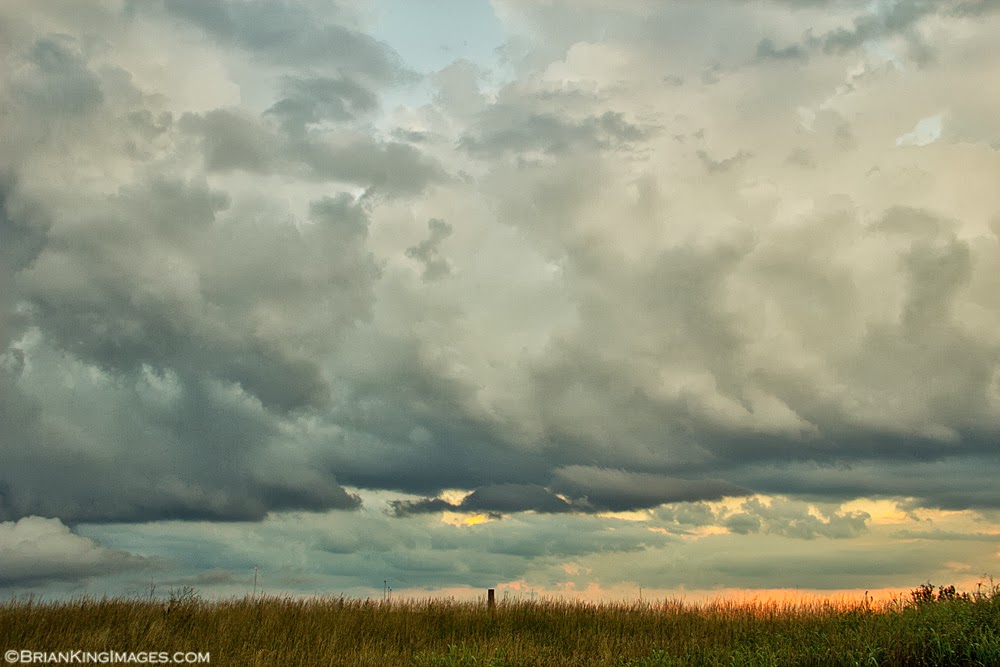
Evening Glow

1/320 sec. f/11 ISO 100

Today's Tip:
When using a tripod, turn the image stabilization feature of your lens to off (if so equipped). Leaving it on when using a tripod can actually introduce vibration into the shot and reduce sharpness.


Friday, July 26, 2013

Giant Rain


This giant storm formed over the course of half an hour. According to the weather service, it reached a height 55,000 feet and would eventually collapse releasing a torrent of rain. Photos of this huge system were taken from all over the region.


1/400 sec. f/11 ISO 200

Linking to Skywatch Friday


Monday, July 8, 2013

Monday, July 1, 2013

Kentucky Clouds

1/30 sec. f/9 ISO 100


1/20 sec. f/9 ISO 100


1/60 sec. f/9 ISO 100


Friday, February 1, 2013

Friday, January 25, 2013

Sunday, January 20, 2013

Sunday, January 6, 2013

Friday, November 2, 2012

Early Morning Sky

1/250 sec. f/8 ISO 250


1/640 sec. f/11 ISO 250


1/640 sec. f/11 ISO 250


1/640 sec. f/10 ISO 200

Linking to Skywatch Friday


Friday, September 7, 2012

From Storm Clouds To Fire Clouds


The evening started off like this with a big storm front that whipped the birds into a frenzy and brought some rain.


And it ended up like this. A world of difference. The sun was below the horizon, but still throwing light.


When shooting the sky, I always shoot in manual and usually underexpose my shots by 2/3 to 1 2/3 stops depending on the light. I find it brings out deeper color in my sky photos. If you shoot in RAW, this can be done in post processing, but I like to get the look I want in-camera as opposed to having to fool with it later. While all the exposures may not be technically correct, I'm going for what I see with my eyes and a certain feel, not necessarily what the camera thinks is right.

Linking to

Thursday, August 23, 2012

Cloud Mountains


These evening cloud formations were quite impressive in their height and ever changing shape. They came through ahead of a large storm front.


Friday, August 10, 2012

Going, Going, Gone


Going...


going...


gone.


Whoops! Maybe not!


Linking to

Friday, March 9, 2012

A TORCON 9 Sky

A week ago today (March 2), we had some very strong storms move through the state. Included in those storms were several tornadoes. My area of Kentucky was in TORCON 9 (Tornado Condition Index). When the storms reached us, the tornado sirens did go off, but fortunately, a tornado never touched down. Other parts of the state were not so lucky. These are photos I took after the brunt of the storm passed and the clouds were getting ready to break.


And now the storm breaks...


Linking to Skywatch Friday